The excuses have already started. England manager Roy Hodgson has declared the venue for his side’s first World Cup match next year, Manaus, as ‘not an ideal place to play football’ given its tropical climate. Although Italy, England’s opponents in that game, can hardly be described as being better suited to such a climate, the reasoning for failure is being prepared nonetheless.

Located at the confluence of the Amazon and the Rio Negro, Manaus is in the heart of the rainforest. That said, with a population of over 2 million, it can hardly be described as a rural backwater and indeed it is a location that has been coveted for centuries.
Even prior to the arrival of European settlers, the land around present-day Manaus was home to large societies of Amerindians, collectively known as the Omaguas. These societies were, despite popular misconceptions, complex and well-organised:
many villages were large and semi-permanent; complex societies existed with regional integration; cultivation was usually intensive or semi-intensive; fertile soils were created; and the natural environment was changed to varying extent by human activity. (Denevan, 2012)
Paying obeisance to a designated political authority, normally a chieftain, the Amazonians were more than a little sophisticated.

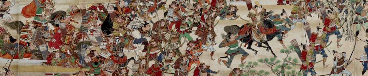
On their arrival in the Amazon region in the 16th century, the European conquerors were surprised by the population density, expecting little more than small, nomadic forest tribes to confront them.
By the 17th century, the Amazon-Rio Negro crossroads was keenly sought after. Spanish, Portuguese, French and Dutch settlers, all with outposts on the Atlantic seaboard, recognised the strategic importance of what would become Manaus. It was already at the intersection of a series of indigenous trade routes that stretched to other New World colonies in Peru, New Granada, Venezuela, and on to the Indies. Furthermore, it stood at the gateway to the vast unexplored interior of South America, a land rumoured to be awash with golden cities and other rich resources.
Having established a fort at the head of the Rio Negro, the Portuguese sought to further establish their presence in the Amazon by sending missionaries into the interior. In this, they were matched by the Spaniards and an Iberian competition for spiritual conquest began.

Between 1700 and 1714, the two Iberian nations fought several skirmishes for control of the Amazon, with the Portuguese winning control of the Negro headland. After that point, a succession of mission stations and trading posts were established which would mutate into the city of Manaus which has become an important economic hub for the region in the 21st century.
The Manaus area appealed to indigenous and European settlers alike both for its strategic and economic advantages and, additionally, because its climate is sedate in comparison to other large tracts of rainforest.
Its importance has been recognised for centuries and it is wholly reasonable that Manaus should be entitled to hold matches at next year’s World Cup. Appreciative of its history or not, the England players and their supporters must simply get on with it.
Sources
W.M. Denevan, Rewriting the Late Pre-European History of Amazonia (2012)
C.L. Dias, Jesuit Maps and Political Discourse: The Amazon River of Father Samuel Fritz
